Services
From assessment to report, and from plan to build
Four service lines and a cross-cutting geospatial capability, with the same scientific rigor in every project.
Corporate ESG sustainability
We turn environmental, social and governance requirements into business decisions: we know what to measure, how to report it and how to sustain it over time.
For companies that must report to clients, investors or regulators.
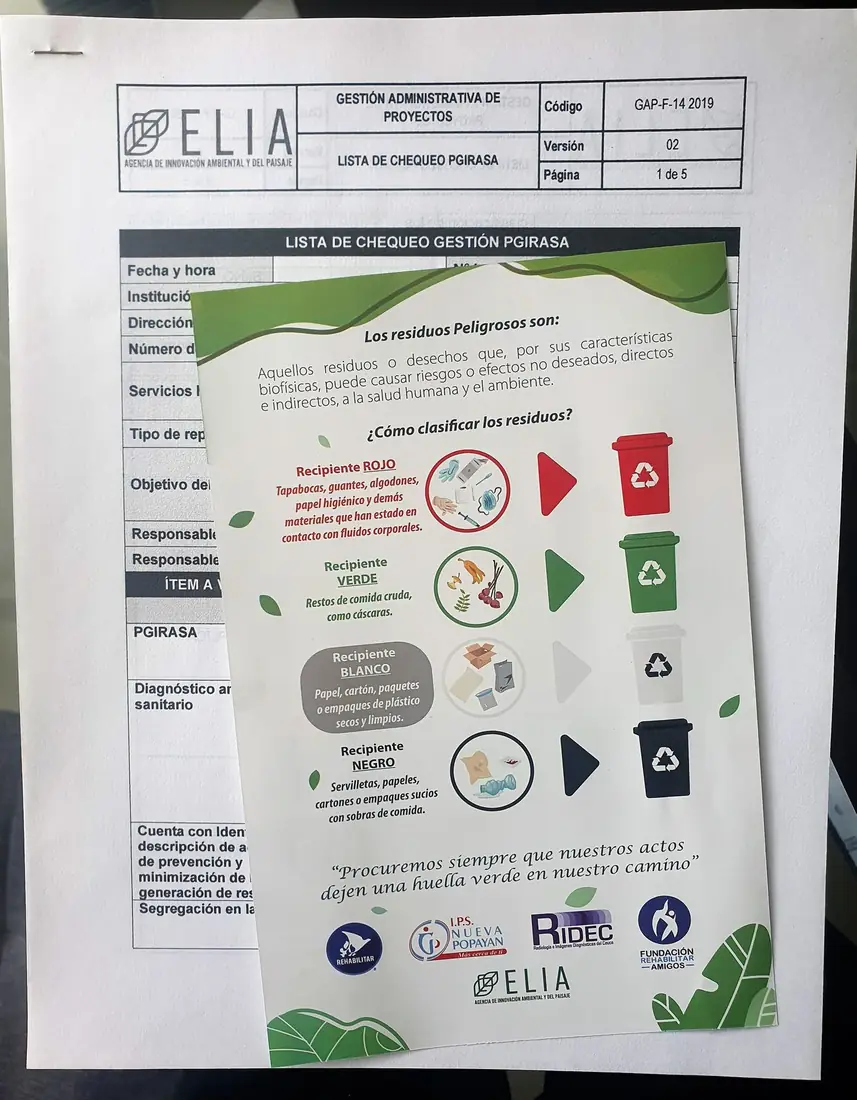
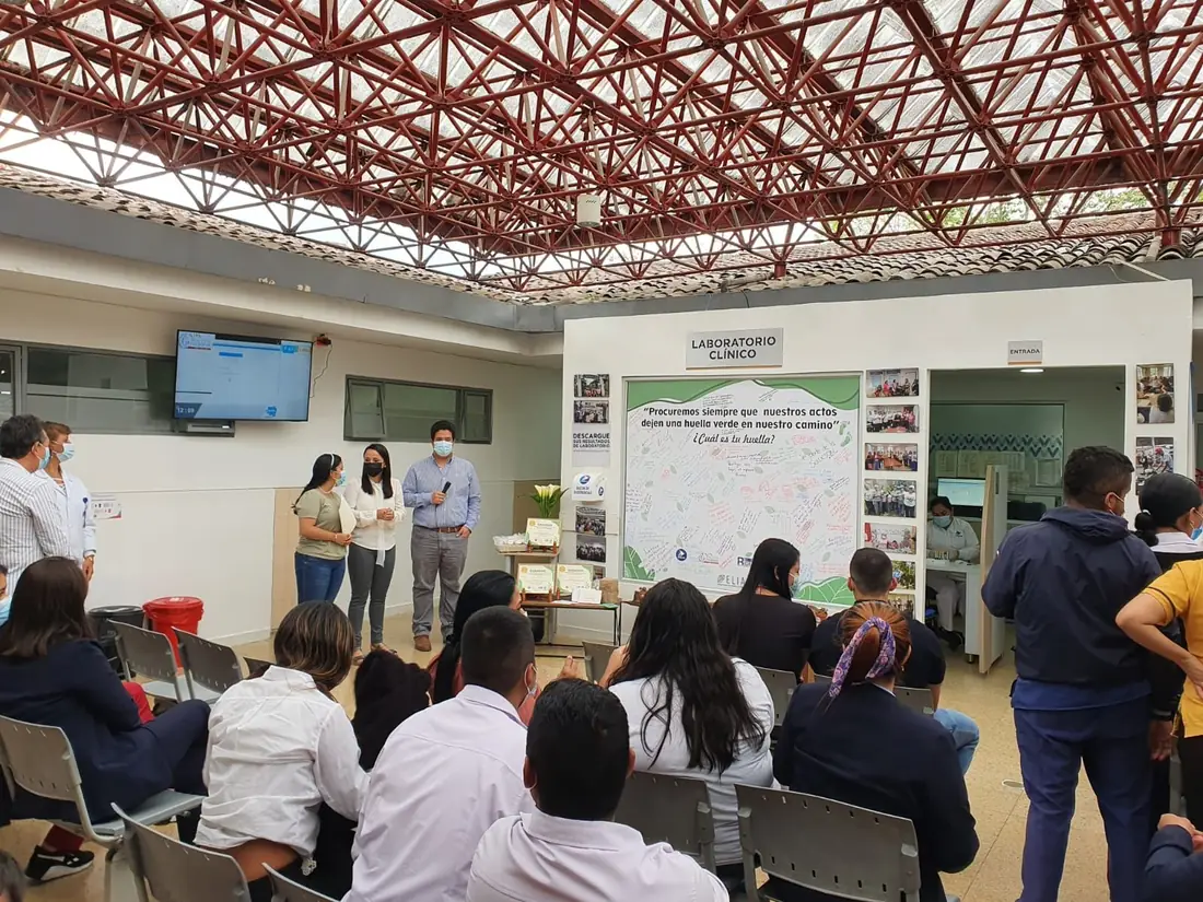
Environmental management and compliance
Permits, plans and management systems that pass audits and, above all, work in the daily life of your organization.
For companies, healthcare providers, builders and entities with environmental obligations.
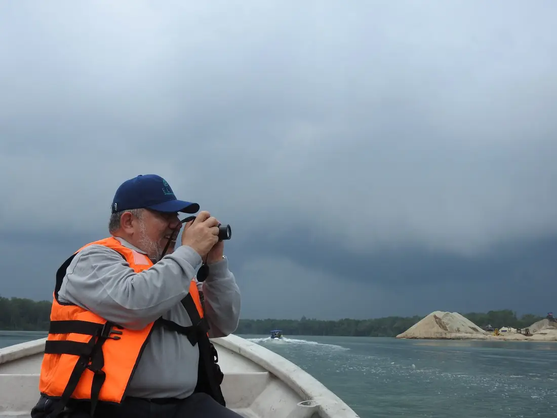
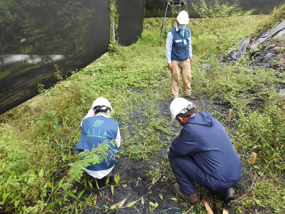
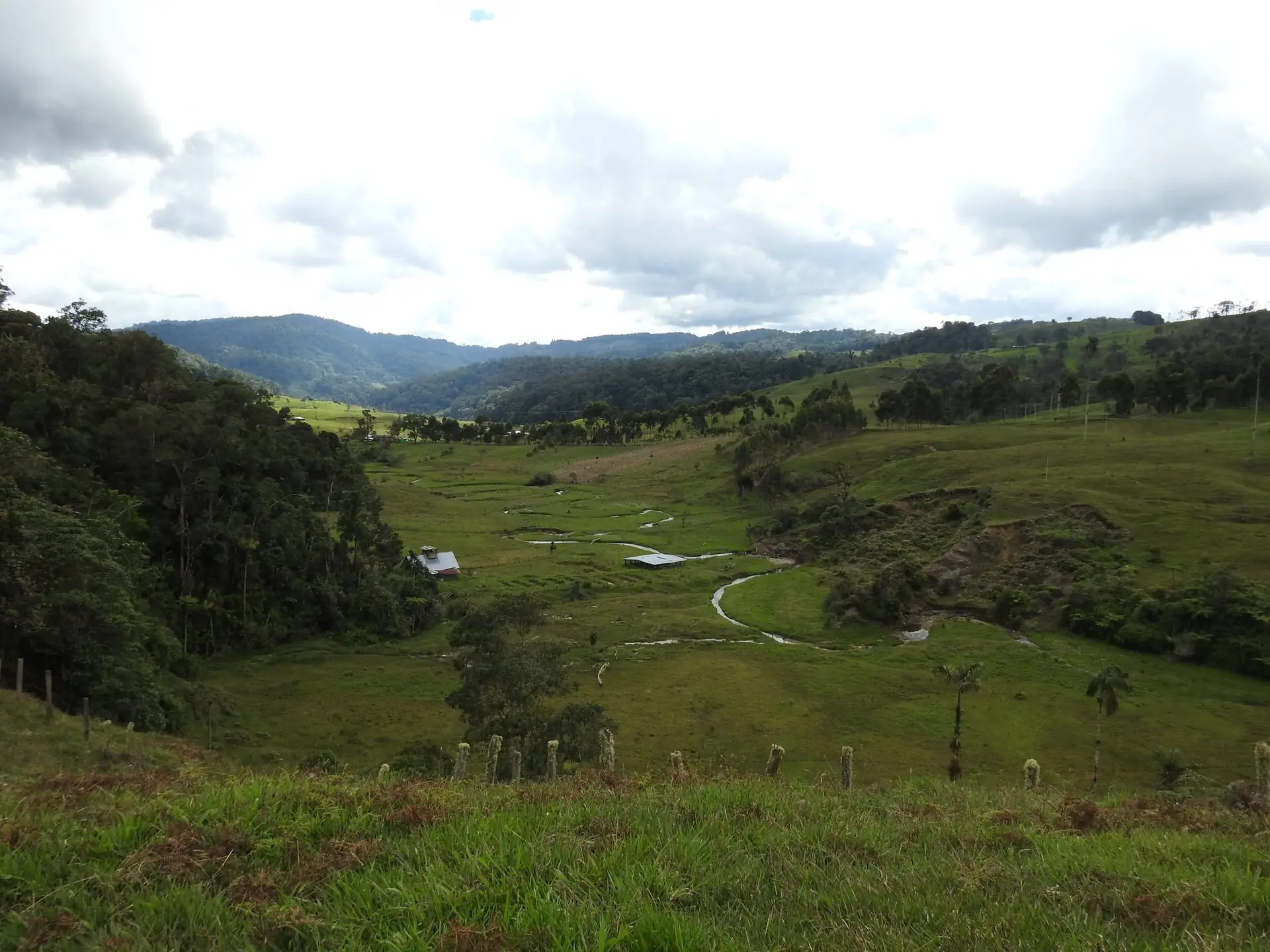
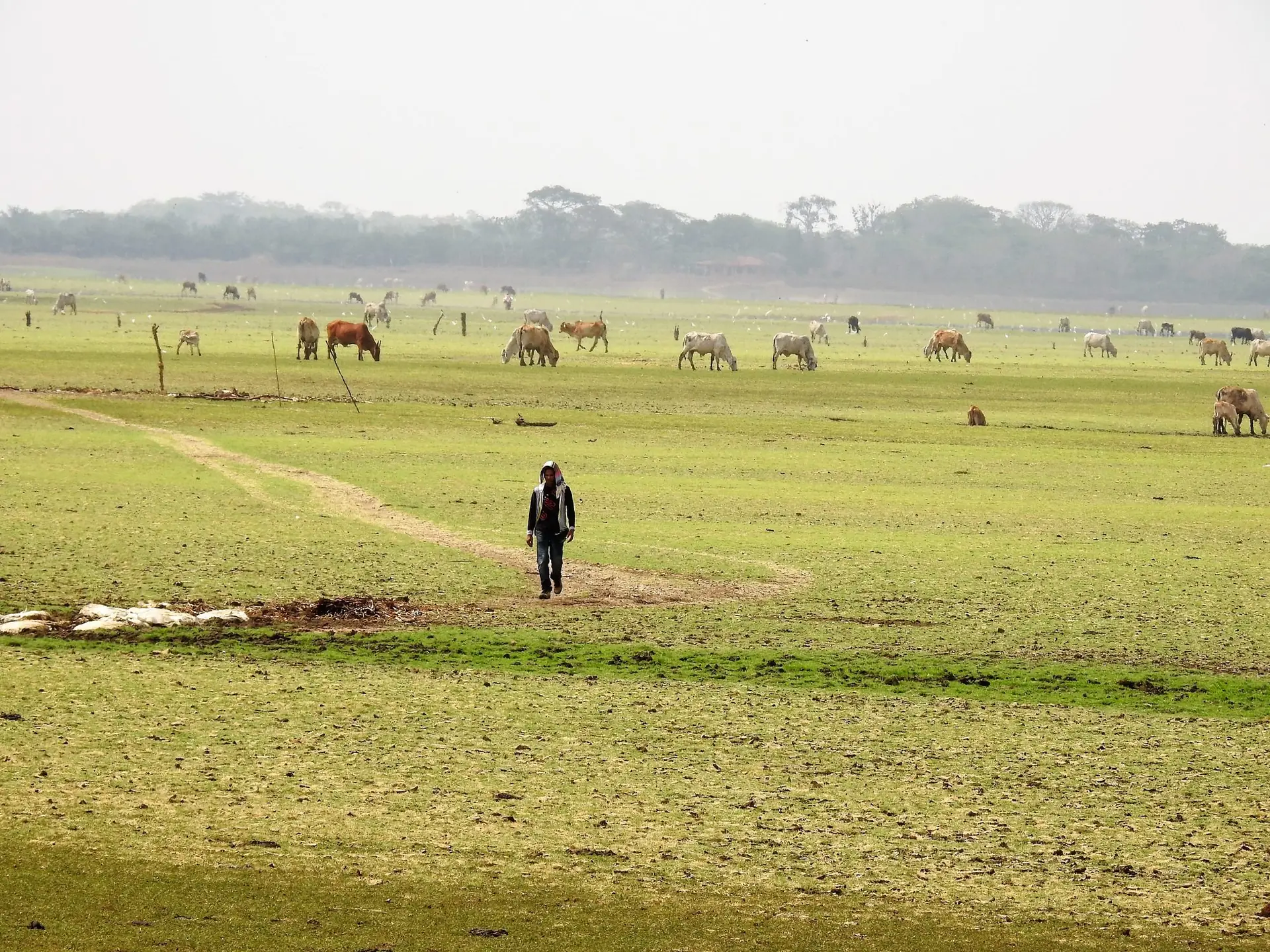
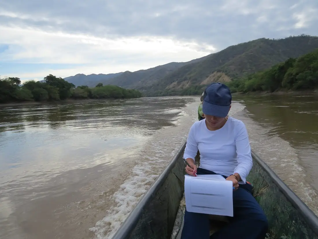
Territory, water and climate
Planning, governance and projects that stand up to technical review and to reality on the ground, with the people who live there.
For local governments, international cooperation, NGOs and companies with territorial projects.
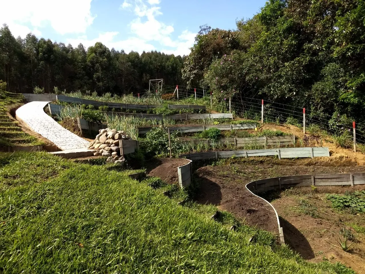
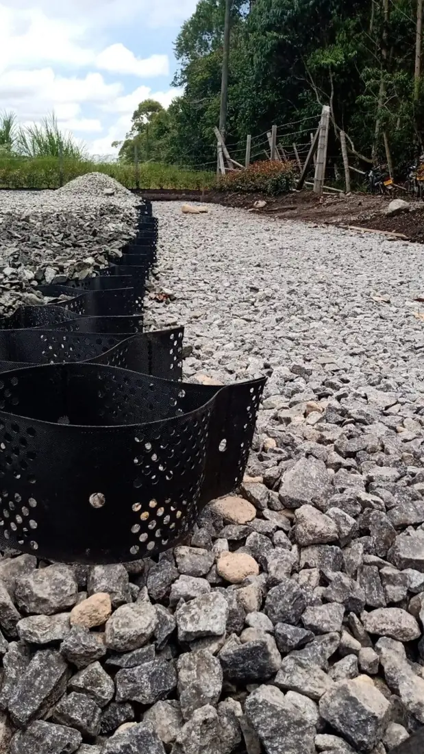
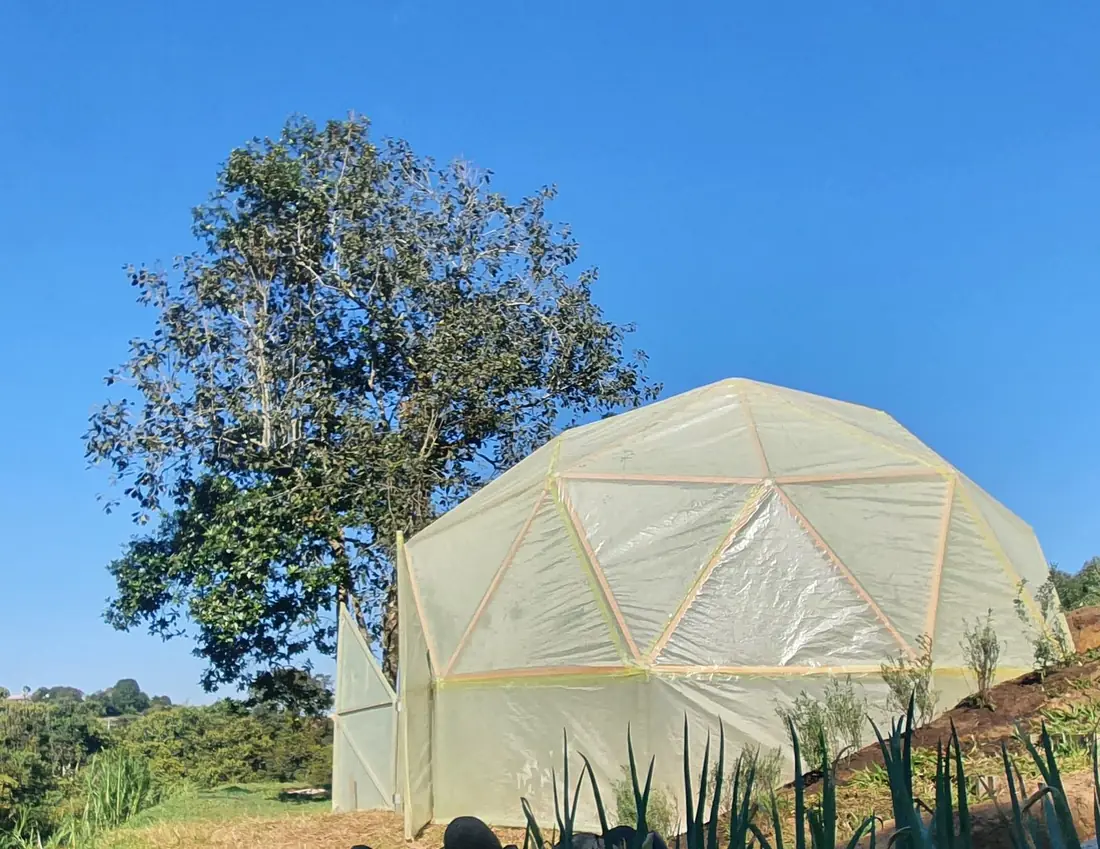
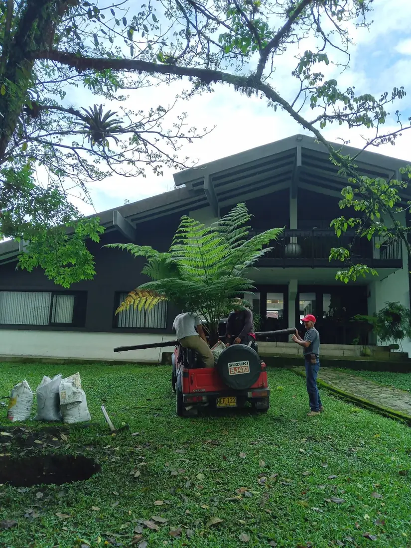
Nature-based solutions
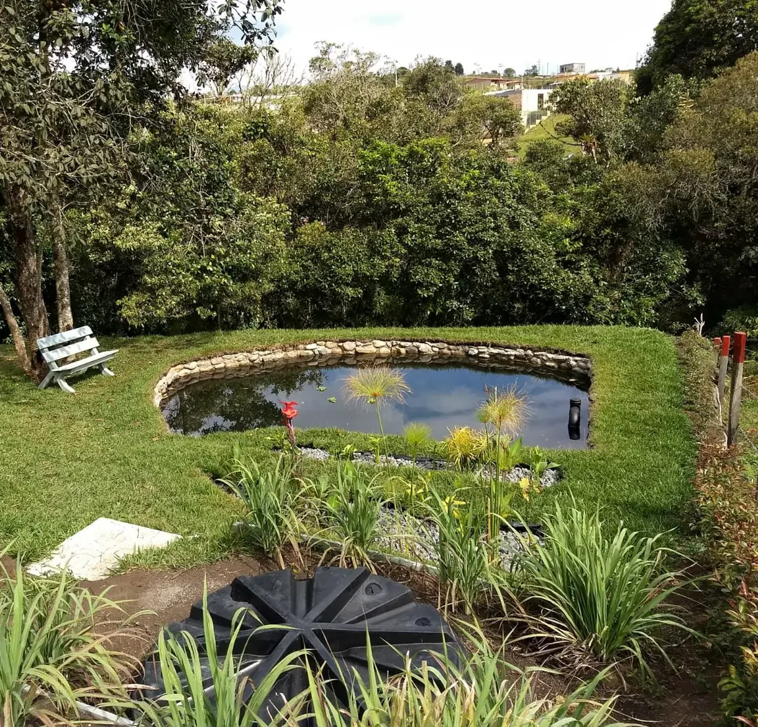
We design and build living infrastructure that treats water, restores ecosystems and grows food, and we leave it working with the people who will look after it.
For communities, institutions, farms, companies and public entities.
Cross-cutting capability
ELIA Geo
Geospatial information serving all four lines: we see the territory from above and verify it on the ground.
- Drone capture. Orthophotos and surface models for assessment and work follow-up.
- Satellite imagery. Land cover analysis, land-use change and deforestation.
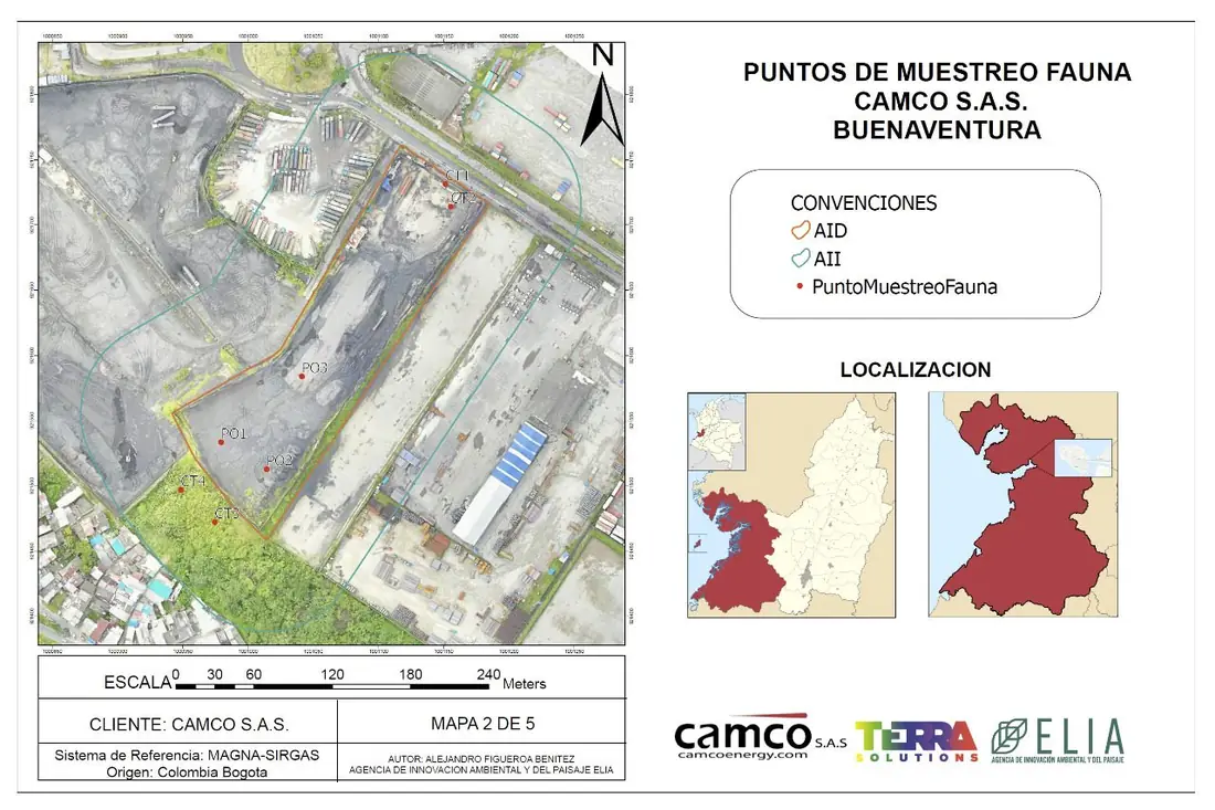
- Thematic mapping. Maps for studies, permits, reports and sustainability reporting.
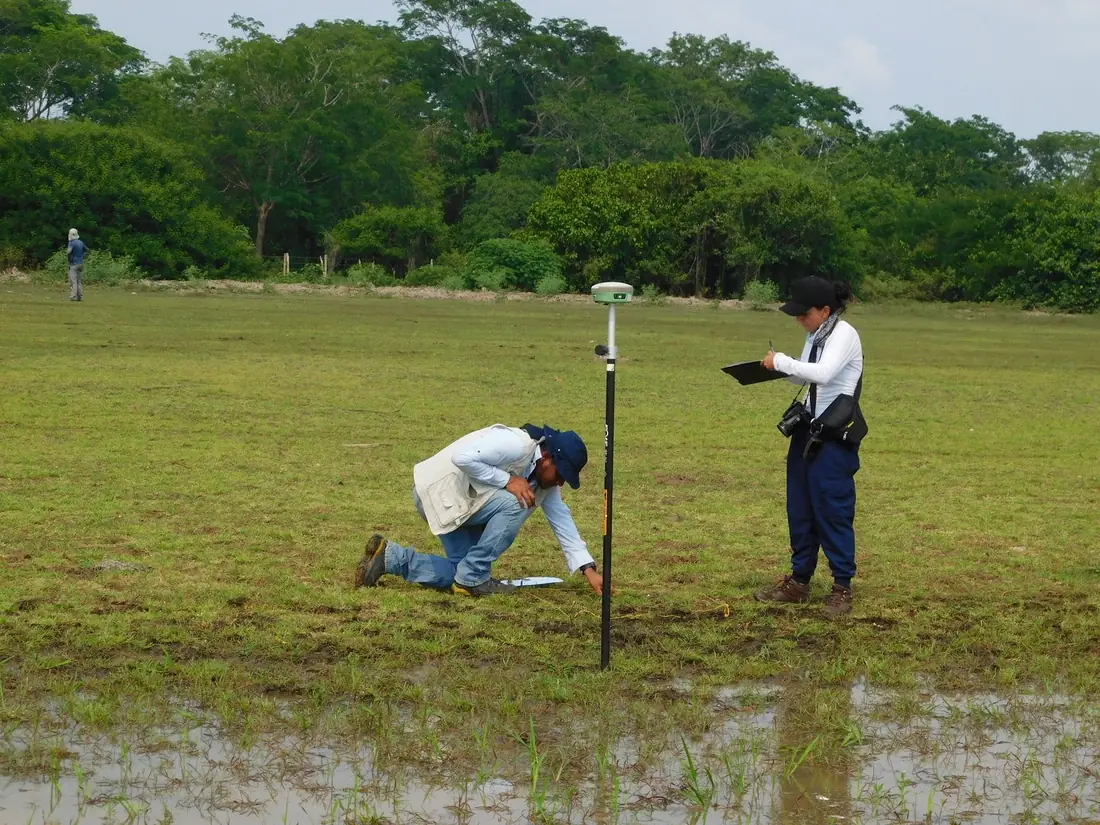
- GPS surveying. Georeferencing of sampling points, properties and works.
Let's talk
Facing an environmental challenge, a project or a report?
We reply within one business day. The first conversation is free.